An island in the Great Salt Lake, an hour north of Salt Lake City
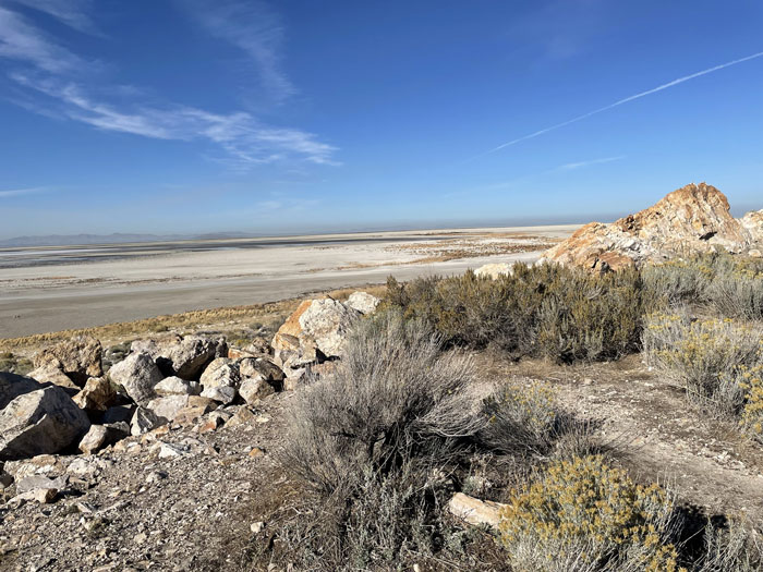
Lake bed from Ladyfinger Point, looking North
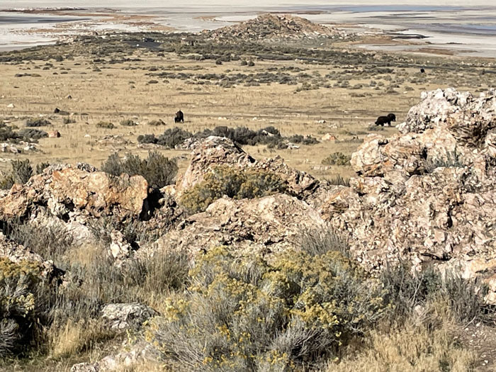
Ladyfinger Point from visitor center, looking north
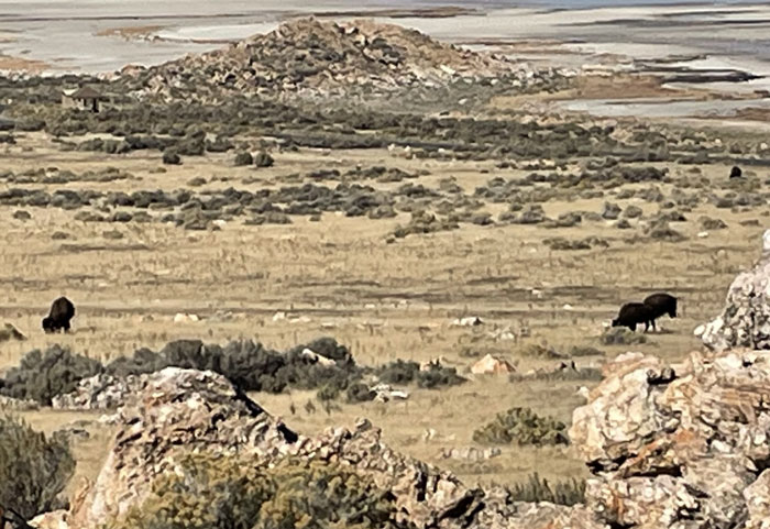
Bison grazing below Visitor Center
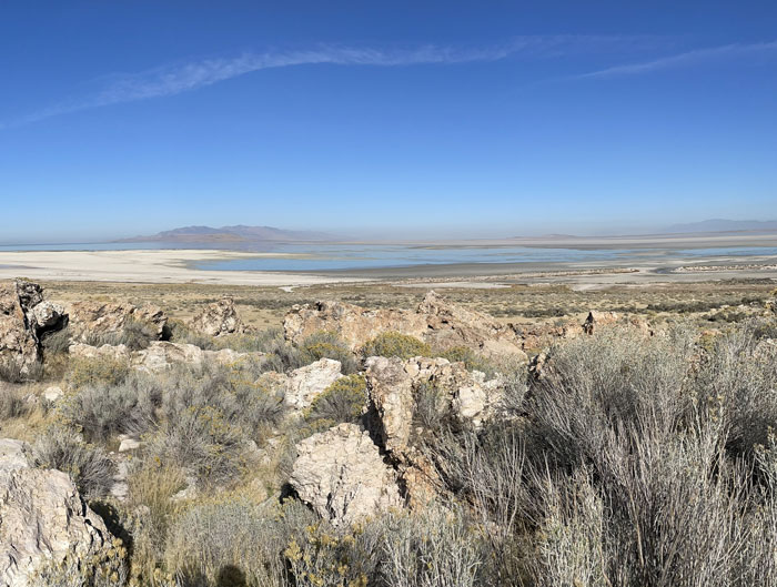
Lake from Vistor Center, looking northwest
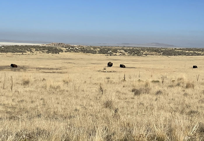
Bison near Bridger Bay Campground
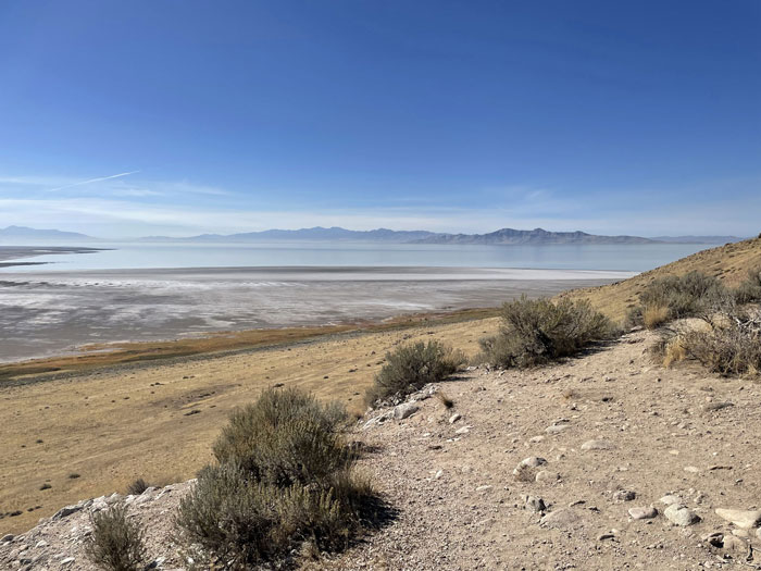
Lake from Buffalo Point trailhead, looking west
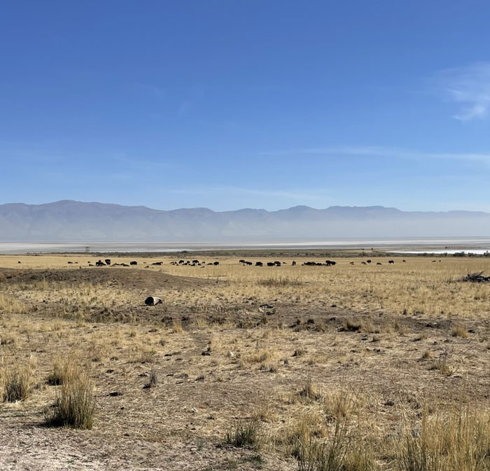
Herd of bison, near Fielding Garr Ranch, looking east toward Wasatch mountains
Arches National Park, 10 minutes west of Moab, Utah
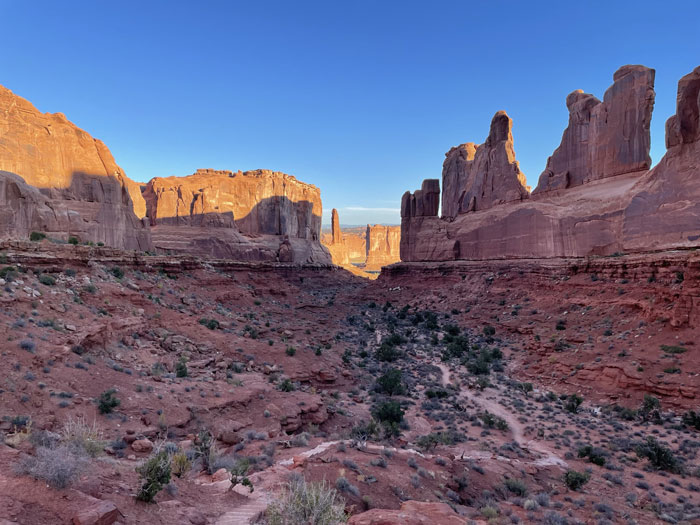
Park Avenue trail
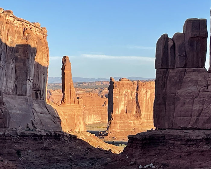
Park Avenue
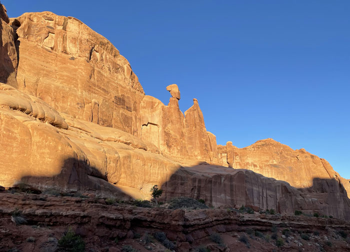
The Great Wall
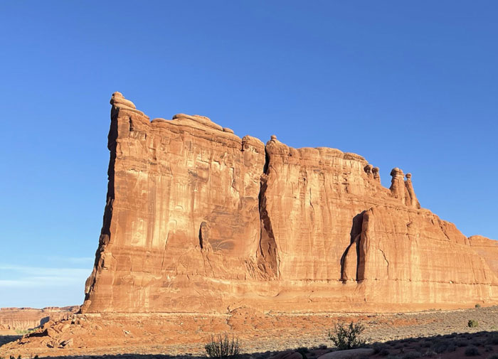
Tower of Babel
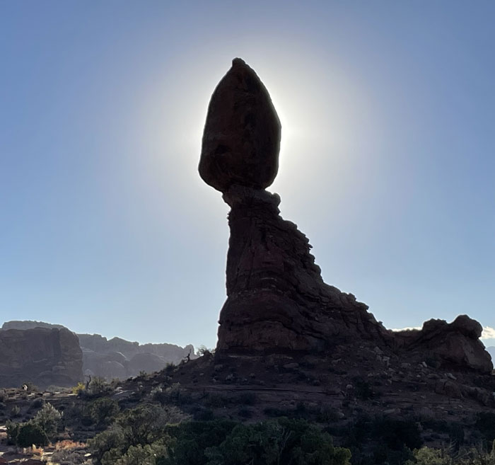
Balanced Rock in silhouette, early morning
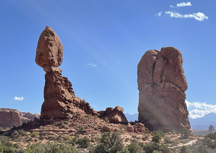
Balanced Rock, early afternoon
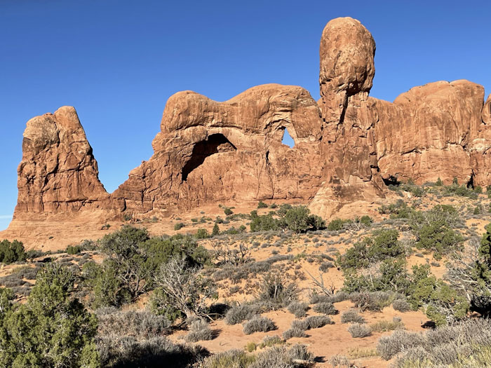
Double Arch, from trailhead
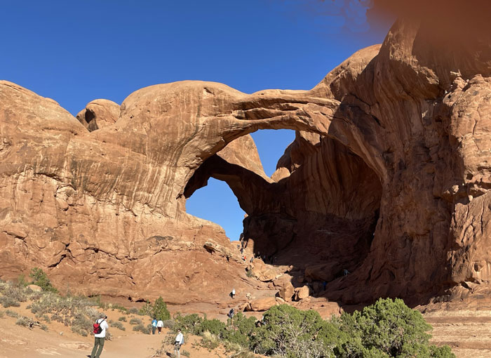
Double Arch
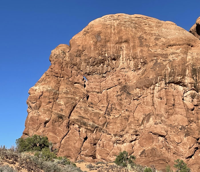
A baby arch, next to Double Arch
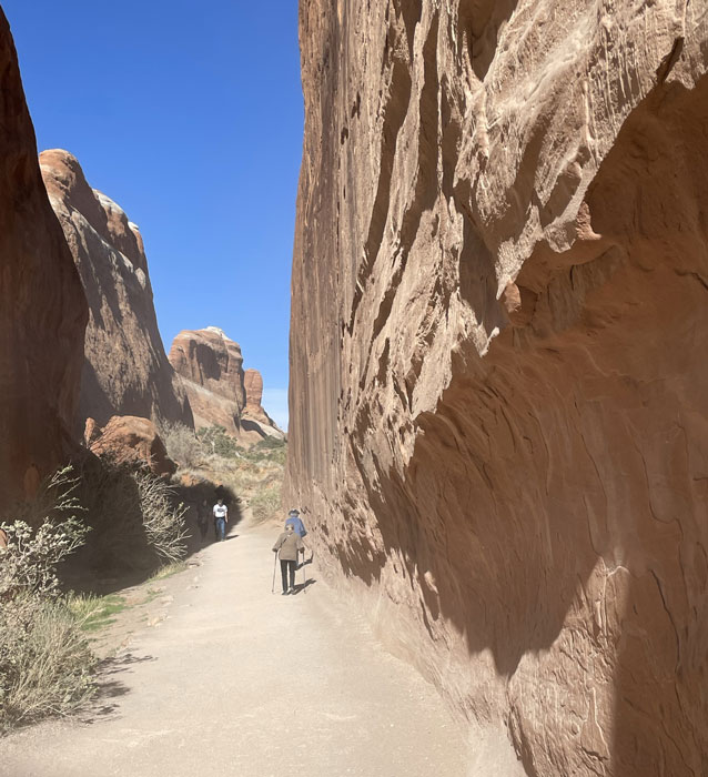
Devils Garden trail
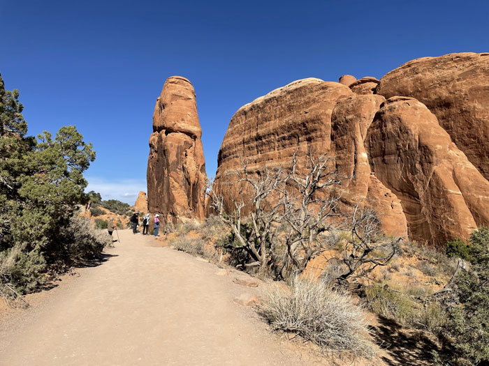
Devils Garden trail
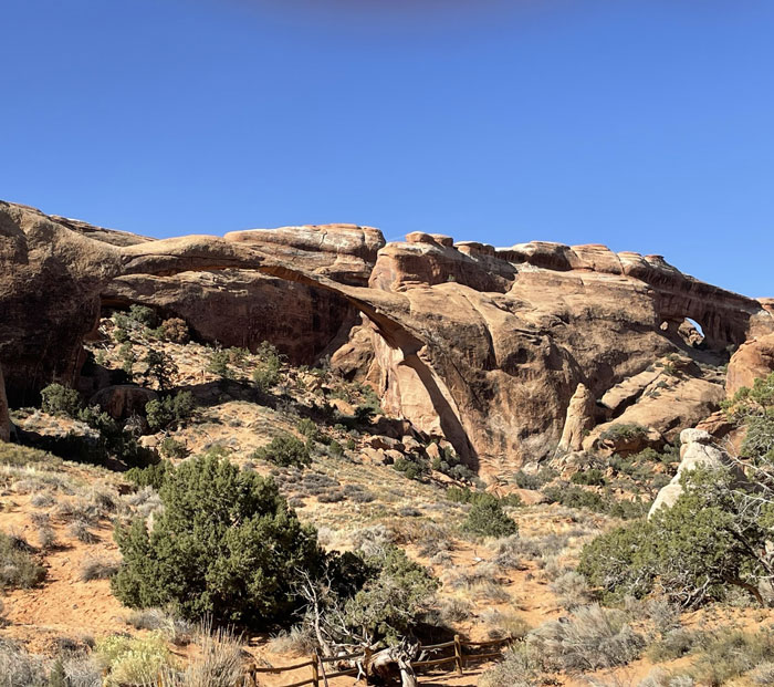
Landscape Arch
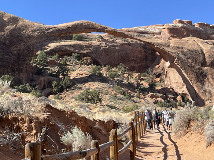
Landscape Arch
Petroglyphs on Potash Road, 10 minutes west of Moab
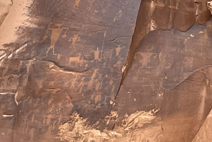
Petroglyphs, Potash Road, Moab
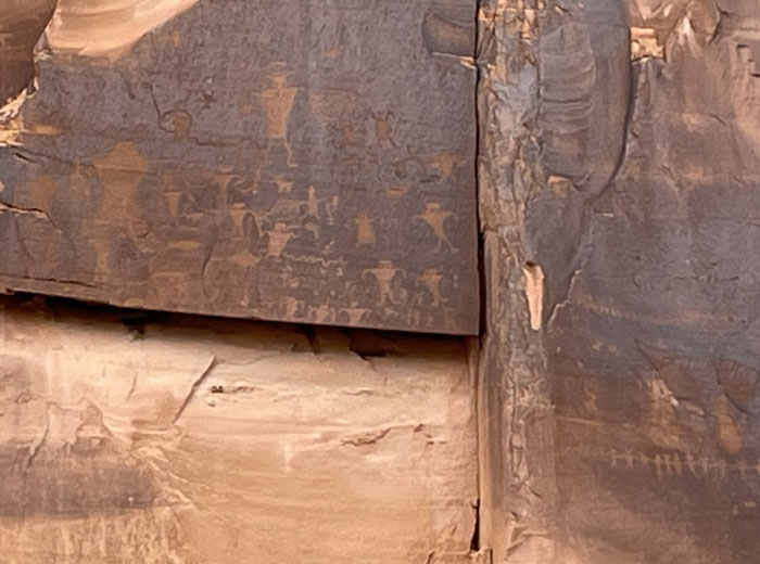
Petroglyphs, Potash Road, Moab
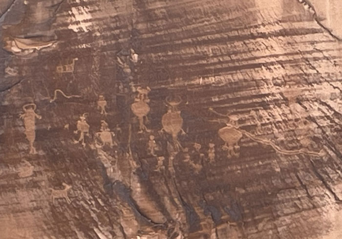
Petroglyphs, Potash Road, Moab
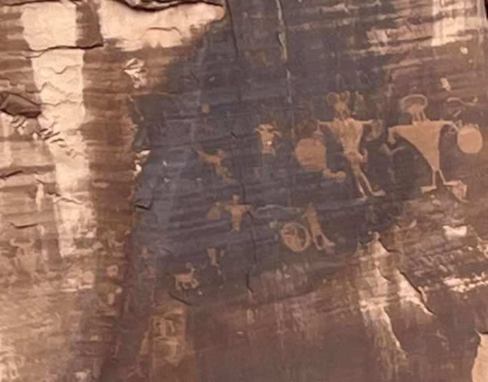
Petroglyphs, Potash Road, Moab
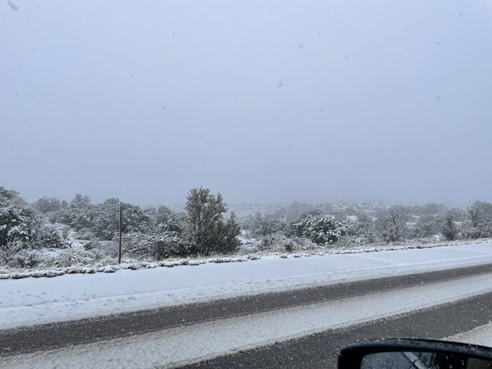
Snowing, snow on the road and trails, and no visibility. No Canyonlands today
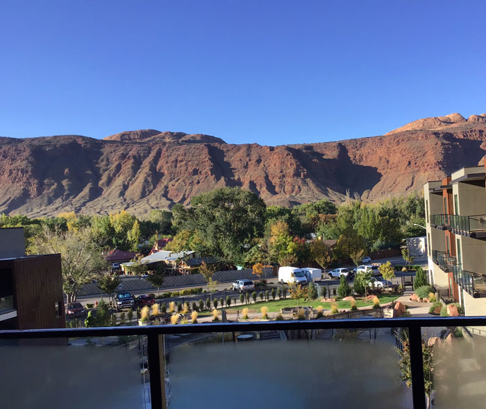
A brighter day - view from our hotel room balcony
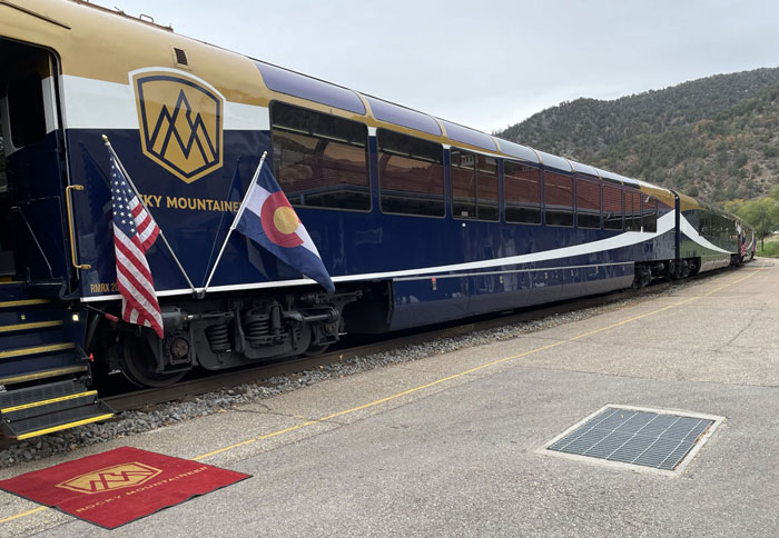
All aboard!
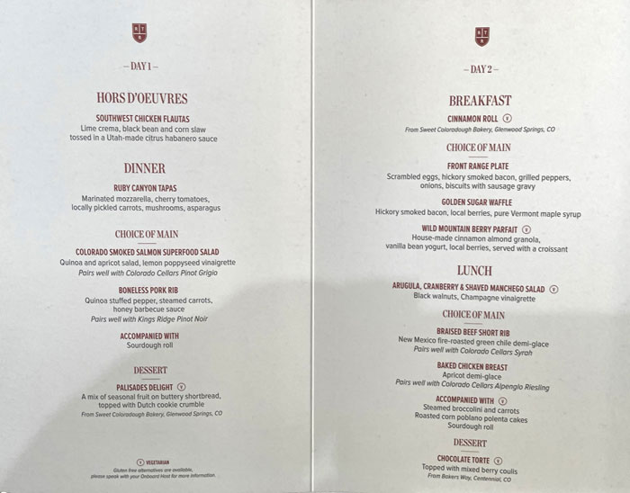
We certainly won't starve!
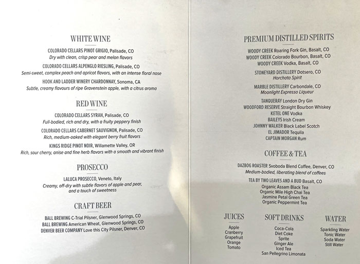
Nor have to do without drink
First day of our rail journey on The Rocky Mountianeer
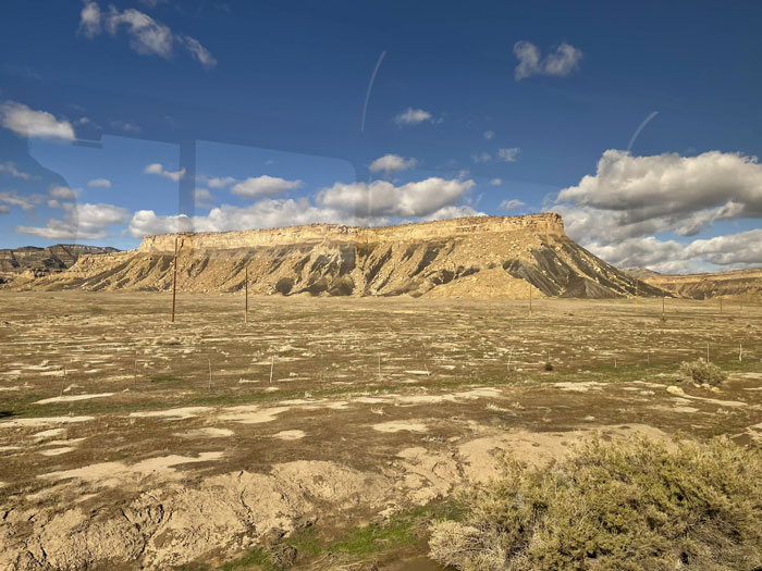
Enroute, Moab to Glenwood Springs
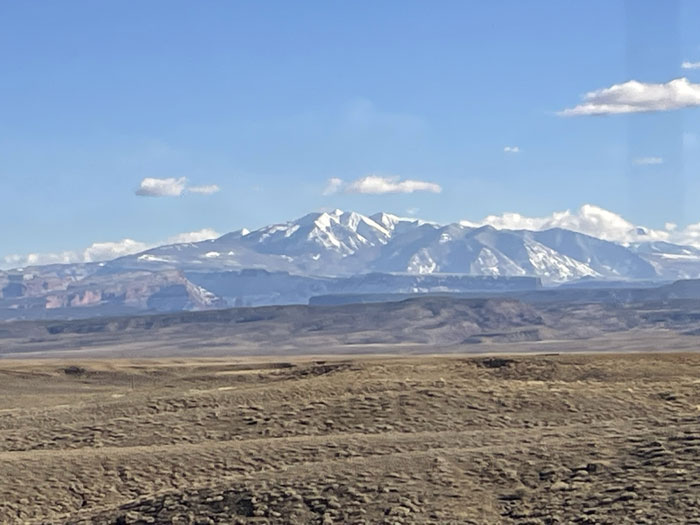
La Sal Mountains -- "The Salt" mountians, named by the Spanish who mistook the snow in summer for salt
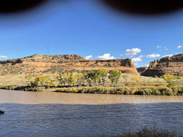
Joining the Colorado River
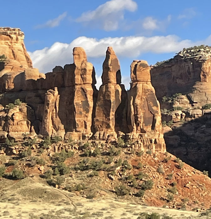
The Three Sisters
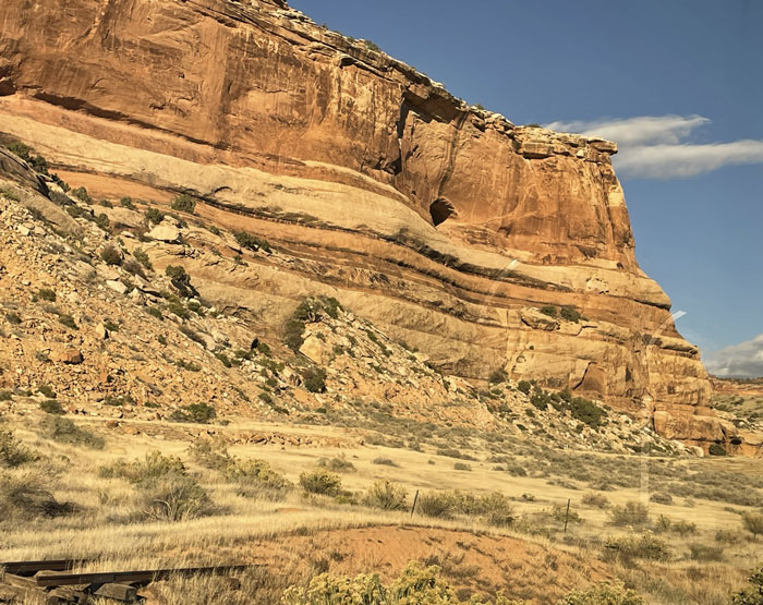
Enroute, Moab to Glenwood Springs
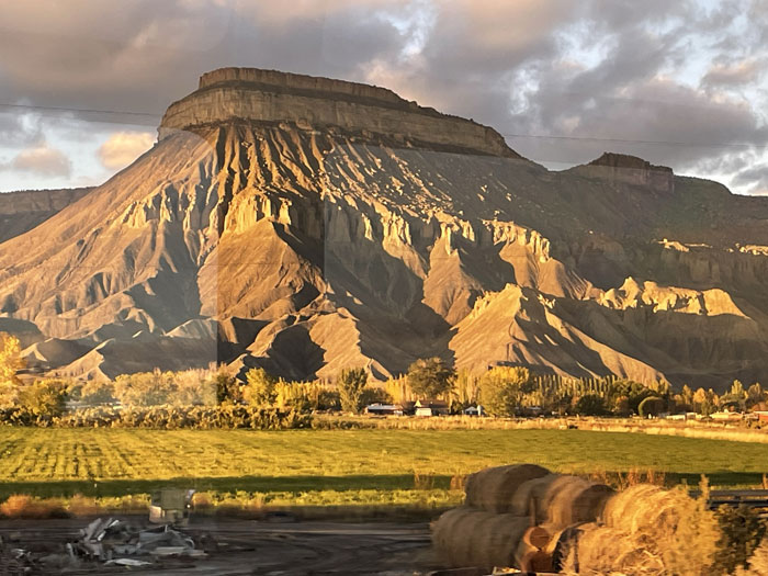
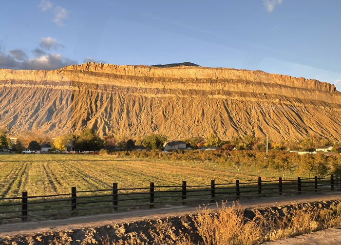
Enroute, Moab to Glenwood Springs
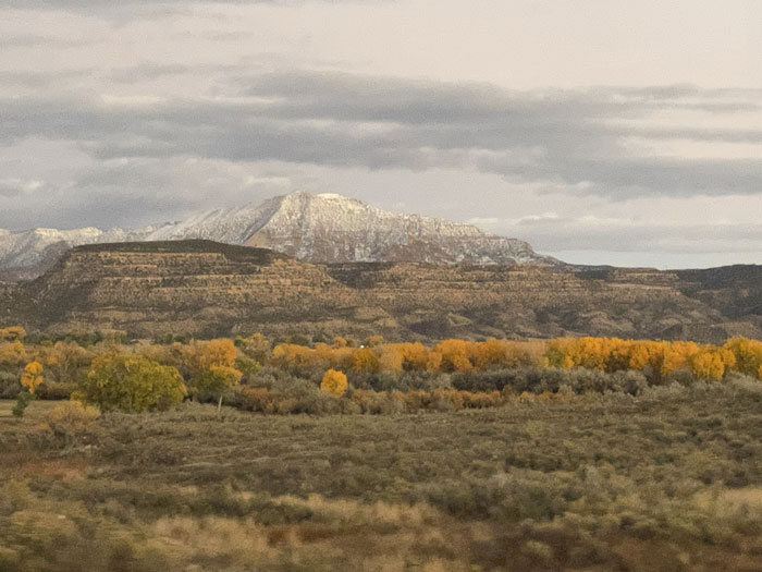
Enroute, Moab to Glenwood Springs
Second day of our rail journey on The Rocky Mountianeer
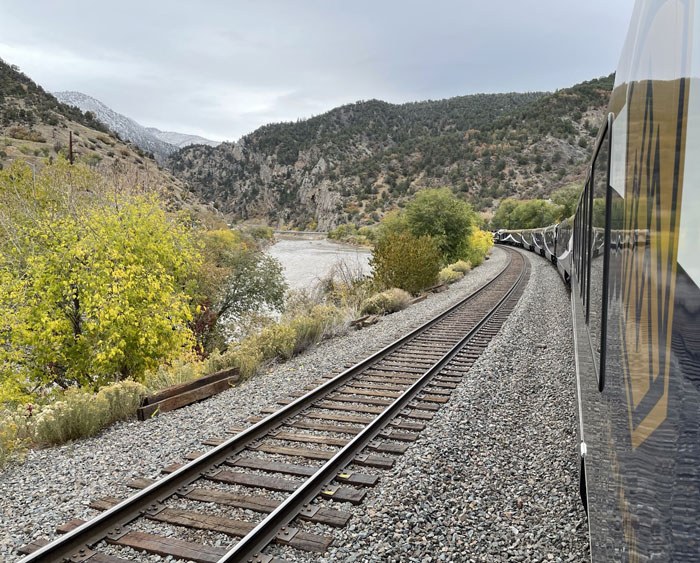
Waiting for track maintenance work to finish for the day
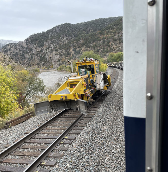
A parade of maintenance equipment delayed us for an hour past our planned departure
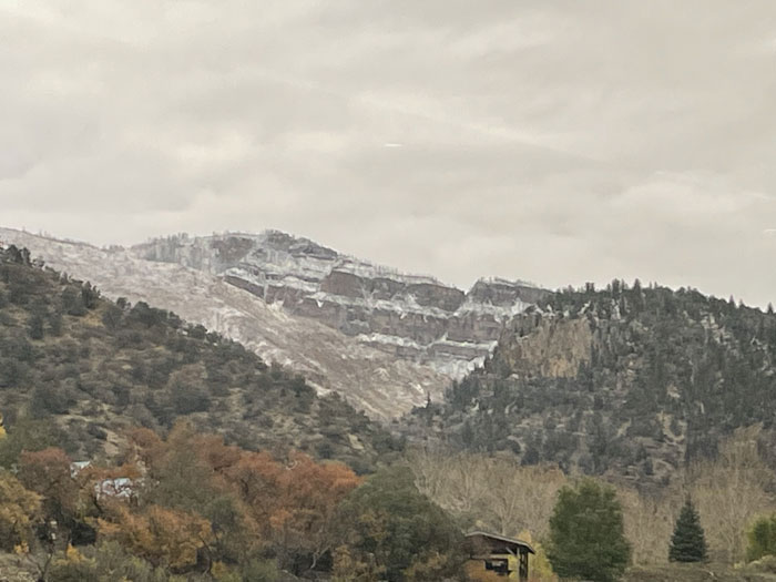
It was 27 degrees in Glenwood Spirngs, with fresh snow on surrounding mountains
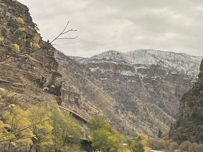
Enroute, Glenwood Springs to Denver
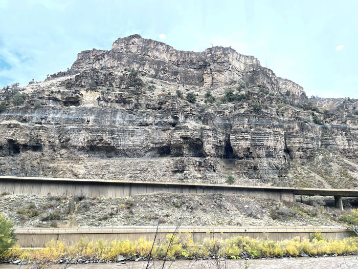
Interstate 70 perched between the Colorado River and the clifts
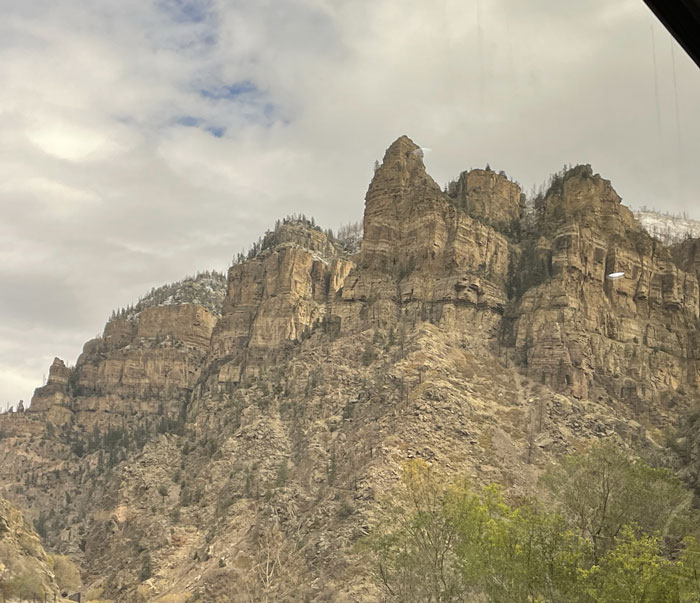
Enroute, Glenwood Springs to Denver
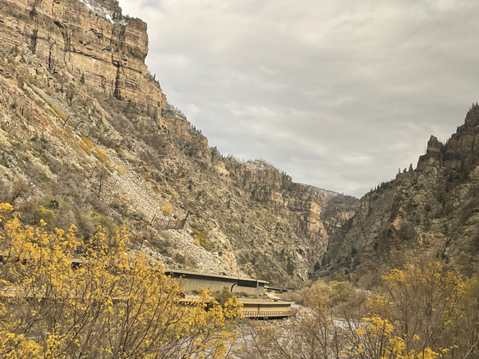
Following the Colorado River canyon with I-70
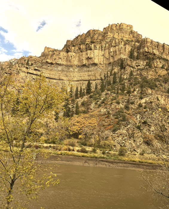
Enroute, Glenwood Springs to Denver
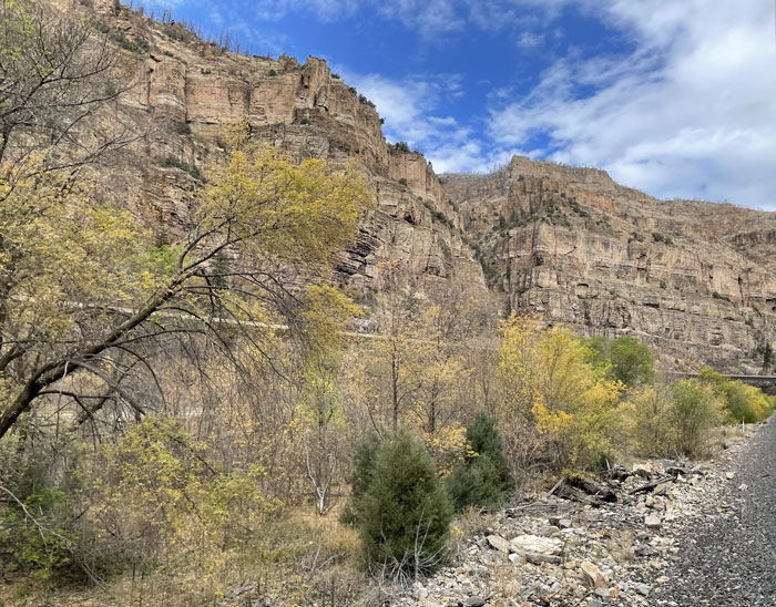
Enroute, Glenwood Springs to Denver
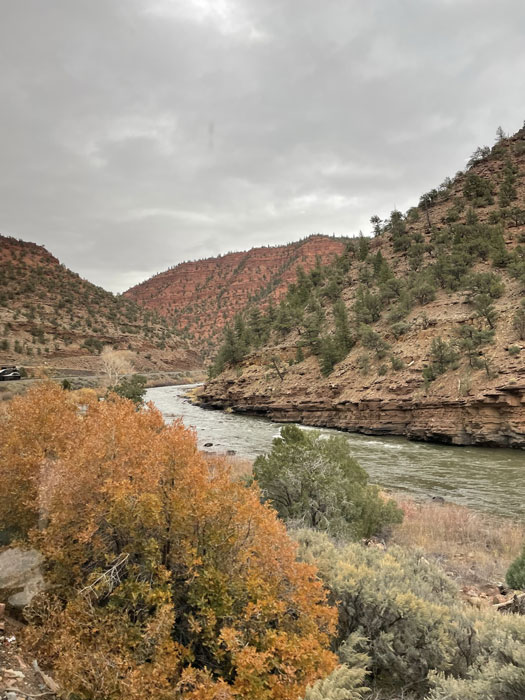
Enroute, Glenwood Springs to Denver
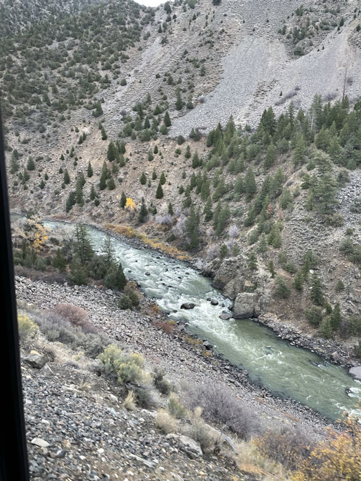
The Fraser River canyon
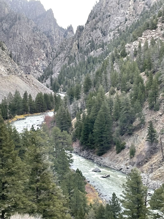
The Fraser River canyon
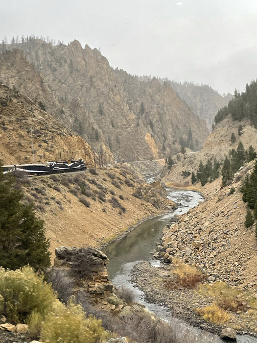
The Fraser River canyon
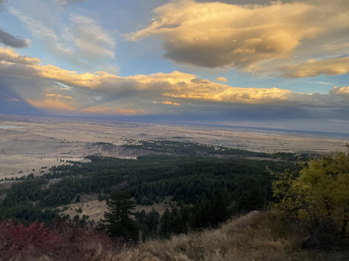
Our first view of Denver
To play manually, click the pause button  , then use the back
  and forward
  buttons to advance the slides.
Our overall route can be viewed with an interactive map.